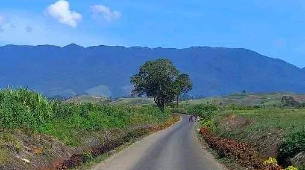
The Geography of Mul-Baiyer-Lumusa District
Mul-Baiyer-Lumusa District is located in the Highlands of Papua New Guinea. It is one of the four (4) districts in the province.
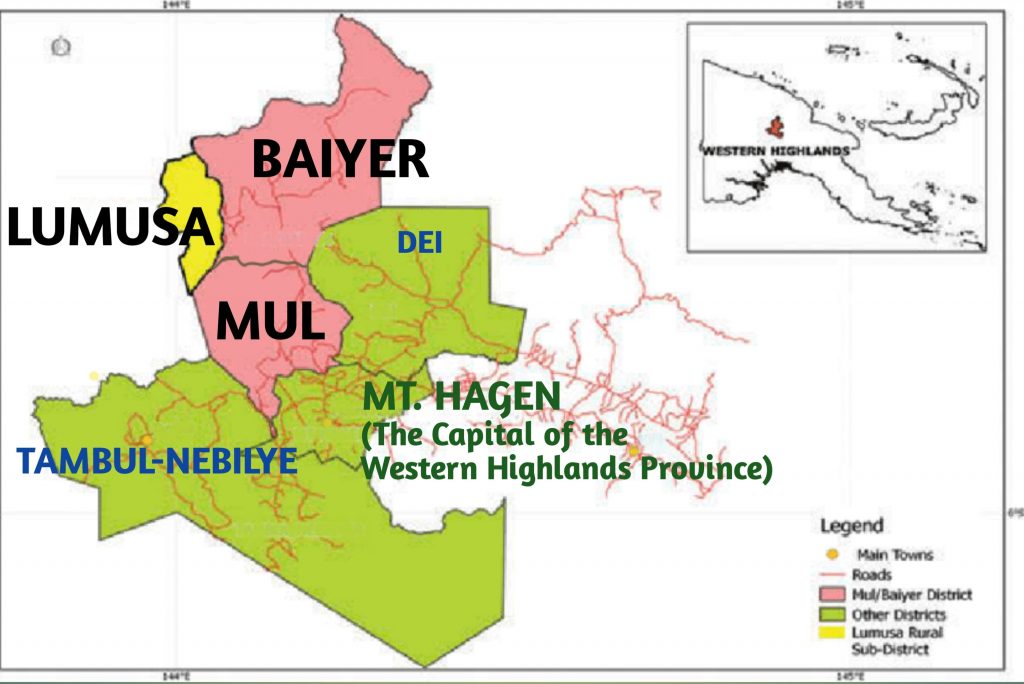
It borders with the coastal provinces of Madang and East Sepik on the North-East and with neighbouring Highlands Provinces of Jiwaka, Southern Highlands and Enga.
The District has varying altitudes with the highest being Mount Hagen with 3,778 meters above sea level and it sits along the Kubor Range (4,359 m).
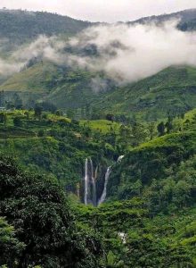
Mul LLG is on an altitude of 1,677 meters above sea level with a temperature of 24-29 Degree Celsius. The climate is relatively cool and dry.
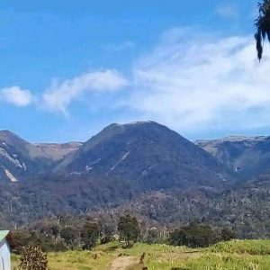
Baiyer and Lumusa LLGs are located at relatively lower altitude (800-1200 meters above sea level). They have vegetation similar to what is being found on the coastal areas.

The altitude determines the vegetation and cash crop production in the District. Coffee production, pineapple and citrus fruits are found in Baiyer valleys.

Potatoes, cabbages and sweet potato production are found in Mul LLG.
Please, contact us for more information or follow us on our Facebook Page.
